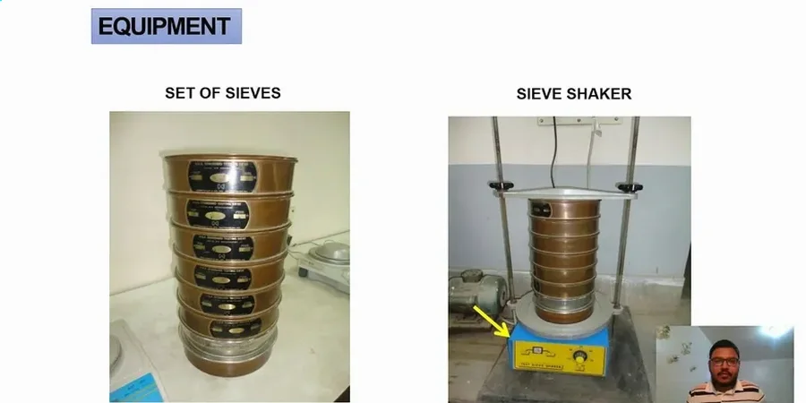
Beneath the pavement and the planned subdivisions of Gilbert, the soil transitions rapidly from coarse alluvial fan deposits near the San Tan Mountains to silty, fine-grained sediments in the old agricultural lands toward the Gila River. This shift from sandy gravel to fat clay can happen within a single parcel. The Town of Gilbert’s engineering standards, along with the IBC, mandate a precise grain size analysis before you can finalize a foundation depth or design a stormwater infiltration basin. A simple visual classification won't cut it when the geotechnical report lands on the plan reviewer’s desk. Our lab runs the full stack: mechanical sieving for the coarse fraction and ASTM D422-compliant hydrometer analysis for the fines, which is exactly what you need to nail the USCS classification and avoid costly over-excavation.
In Gilbert’s mixed alluvium, the hydrometer is just as critical as the sieve stack—fines content dictates both drainage behavior and seismic settlement potential.